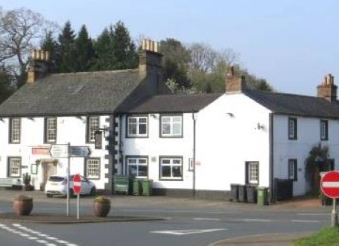
Welcome to Dalston Parish
Dalston parish is one of the larger ones in Cumbria with a population of 2590 (2011 census results) and covers a geographical area of about 11,900 acres (4,822 hectares). The Cumbrian Way passes through the parish and is used by walkers and general tourists alike all year round. It has several hamlets and Dalston village with the rivers Caldew and the Roe running through the parish. The Caldew is a Site of Special Scientific Interest. Both rivers have flood implications which are seen on an ever increasing frequency.
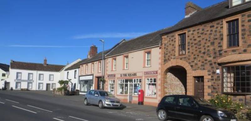
We are fortunate to live in such a lovely area with Dalston village having thriving services and facilities. These includes a doctors’ surgery, a dentist, a pharmacy, a Post Office, the Co-op convenience store, two churches, a Recreation Ground, Bowling Green, Tennis Courts, the Victory Hall, a secondary school, primary school and food outlets. There is a cycleway and regular bus and train services. The Nestlé factory in Dalston village is the largest Nestlé processing plant in Europe and has developed directly from its position in this dairy farming area providing employment. There is also a private school and another primary school in the parish. The parish consists of a mix of farms, residential areas and light industry with many important habitats for flora and fauna and the following areas:-
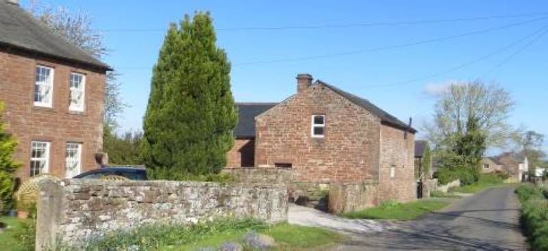
Bridge End and Hawksdale
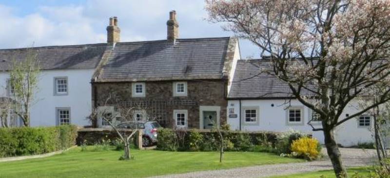
Bridge End is part of Dalston village and has a variety of houses from old cottages and substantial houses in parkland to small twentieth century developments of detached houses. There is a small factory conversion and a small estate of previously social housing, now mainly owner-occupied, a car sales firm with repair garage and a public house/restaurant. Hawksdale is a widespread rural area of open parkland, which includes ribbon development of houses of mixed age and design. It contains a few substantial houses, a private school and farms. The Cumbrian Way passes through, and the River Caldew, with its weir as a significant feature.
Buckabank
An extension of mixed private housing from Bridge End along the B5299.
Cardewlees and Orton Grange
Bordered by the A595 to the north-west, at Cardewlees there are detached dwellings, farms and Brown's haulage depot, which now has other industrial units. There is a working quarry where lakes have been formed and after environmental landscaping, it is expected that there will be public access for leisure purposes. At Orton Grange there are scattered detached dwellings, a residential caravan park, Dobbies Garden Centre, and a large acreage of commercial greenhouses, horticultural businesses and small business units.
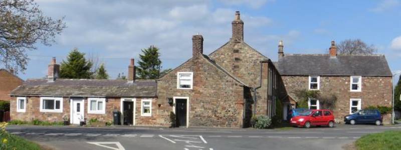
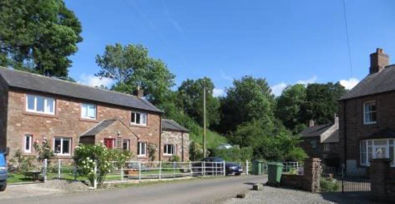
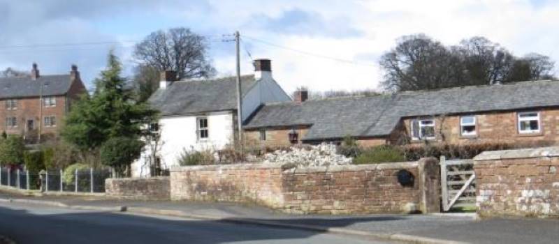
Cumdivock, Cardew and Lakerigg
Could be loosely described as rural ribbon developments, with farms and dwellings, some close to others, but most standing apart. There is St John’s Anglican Church, and a small timber Women's Institute building used for community purposes.
Gaitsgill
A very compact small community, with four farmsteads, the Primrose Hall sometimes used for religious services and a variety of small dwellings.
Lingey
Became a recognisable separate residential area between the world wars, with the building of Land Settlement houses, initially for the unemployed, all with a similar acreage. With the dissolution of the Land Settlement Agency in 1982, houses were sold, most being altered or extended. Some properties now have commercial use.
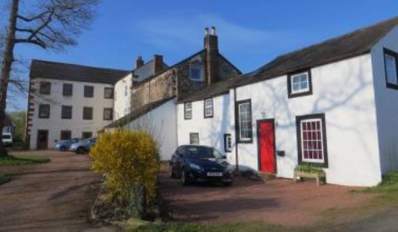
Low Mill
At the end of a cul-de-sac created by the railway and the River Caldew. Former industrial buildings have been converted to residential use and there are two relatively new single storey homes.
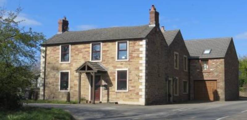
Raughton Head
Has a church, a school and a cluster of larger than average houses from different historical periods. There are two farms near the centre and other farms and dwellings in scattered locations nearby, some of them barn conversions. In total some 70 dwellings.

Stockdalewath
A settlement beside the River Roe, which has grown quite considerably in the last 25 years, with some of the new houses having a suburban character. Flooding has become more frequent in recent years. The Stockdalewath Free Church meets in The Primrose Hall, Gaitsgill.
Unthank
A small, linear development with generous space between the dwellings, mostly stone built. It is a rural settlement with two farms.