Cumberland Local Plan and Dalston
- A drop in event regarding
- The Cumberland Local Plan
- in the Victory Hall on
- Tuesday 30th September
- from 1.30pm-7pm
The Cumberland Council is doing a new Neighbourhood Plan and have launched a call for sites in their plan. Interested parties are invited to identify sites they would like to see protected or developed for a particular use by 4th January 2026.
Vacancy
Weekend Cleaner Dalston Public Toilets
For more information, please contact Judith Wheeler at Orian on 07392 868738


Cumbria Innovative Flood Resilience

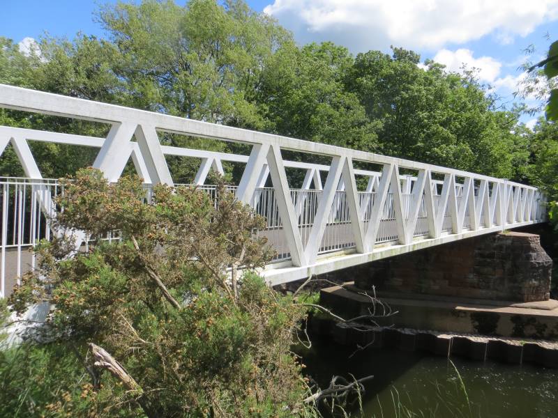
CUMBERLAND COUNCIL (PUBLIC FOOTPATH NO. 114004 AND CALDEW CYCLEWAY) IN THE PARISH OF DALSTON, TEMPORARY PROHIBITION OF PEDESTRIANS) ORDERS 2025
Please find below made Orders in respect of the above, which will come into effect on 21 July 2025, and a plan depicting the sections affected.
You can also download a copy of the notice that will appear in the News and Star on 18 July 2025.

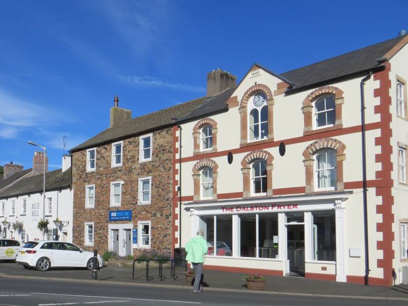
Welcome to Dalston Parish Council
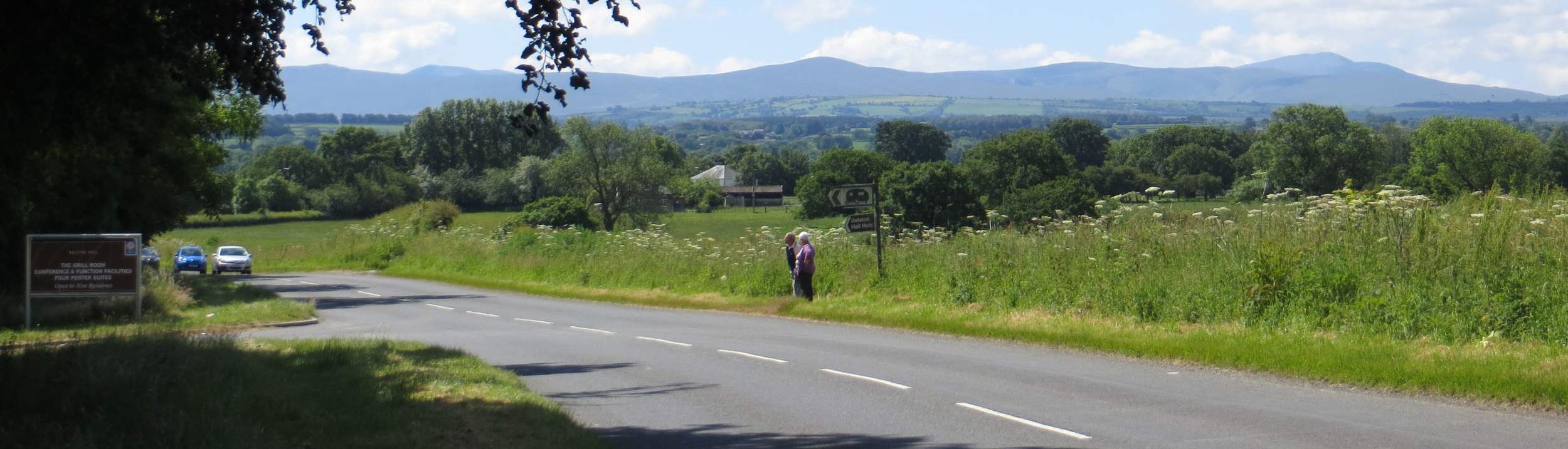
Dalston parish is one of the larger ones in Cumbria with a population of 2590 (2011 census results) and covers a geographical area of about 11,900 acres (4,822 hectares). The Cumbrian Way passes through the parish and is used by walkers and general tourists alike all year-round.
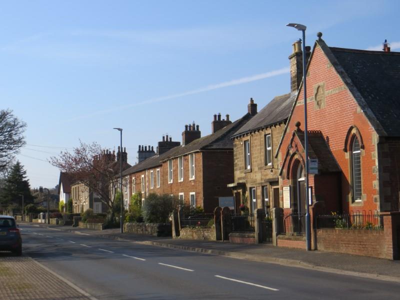
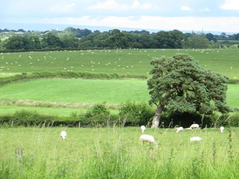
It has several hamlets and Dalston village with the rivers Caldew and the Roe running through it. The Caldew is a site of special scientific interest. Both rivers have flood implications which are seen on an ever increasing frequency.
Latest News

